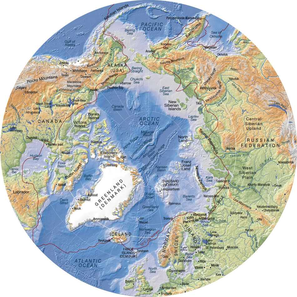
A Topographic Map is basically a large-scale map showing relief and man-made features of a portion of a land surface distinguished by portrayal of position, relation, size, shape, and elevation of the features.
In this map you can see all indents, which indicate elevation in not only the land but also in the water.
No comments:
Post a Comment