Saturday, February 6, 2010

Hypsometric maps


These maps show elevation with bands of color and a key to let you know the elevation. I like this map because it is very detailed!

Proportional Circle maps


This map lays out how many housing per community area. By laying out the circles in the different areas in different sizes with a key on the side, you are able to tell the amount.

Infrared aerial photo


This image can be very useful because it shows temperature which can determine depth and height.

soil map


I found this map interesting because it shows where the different types of soil is located.

windrose


This is especially useful to boaters and air services because they determine the wind direction and speed.

choropleth map


These maps usually are divided by colors and charts on popluation ratio or based on low income, and shaded that way.

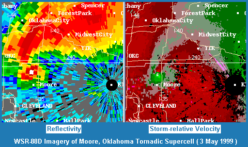
Doppler Radar


The doppler radar map, I feel, is especially important. I know this because living in South Florida we encounter a lot of storms, and this is an accurate way to try to prepare ahead of time. This is also used a lot in the midwest, and all over the country.