Thursday, April 22, 2010

dem map

This map shows elevations in 3D

http://edc.usgs.gov/images/dem.jpg

range graded proportional circle map

http://www.d.umn.edu/geog/cartfolder/HTML%20Pages/Prop-Symbol2.htm

This map is when the size of the circle goes with the size of the population, so the bigger the circle, the higher pop.

DOQQ


A digital orthophoto quadrangle (DOQ) is a computer-generated image of an aerial photograph in which image displacement caused by terrain relief and camera tilts has been removed. It combines the image characteristics of a photograph with the geometric qualities of a map.

http://www.isgs.uiuc.edu/nsdihome/webdocs/doqs/images/charleston_q30.jpghttp://www.isgs.uiuc.edu/nsdihome/webdocs/doqs/images/charleston_q30.jpg

Isobar

this map is a line on a weather map connecting points of equal atmospheric pressure. Canbe useful in determining high and low pressure which form storms and storm tracking


Friday, April 9, 2010

Isohyets

These maps use lines to show rainfall. You can see by the colors and numbers the amount of fall each year. This is very good in keeping record of the rain fall per season.

DRG MAP

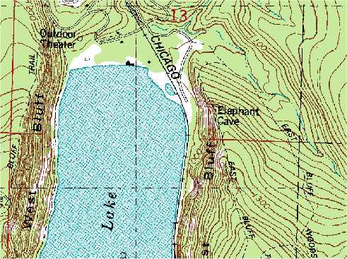
http://www.forestpal.com/images/drg.gif
These maps are scanned topographical maps, and include the same detail as the topographic map.

Cartographic Animation


This map is a frozen picture of an animation that shows a movement in the information it is trying to depict. Another good esample is the weather forecast, when you see the storms moving in.

Statistical maps

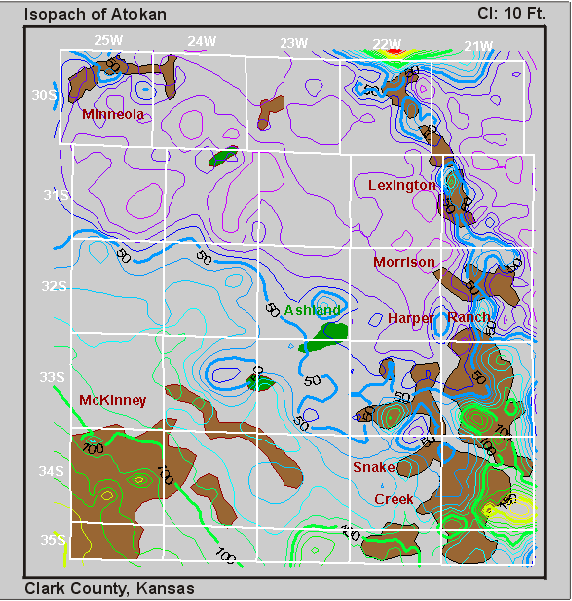
These maps are numerical data. It groups it into sections based on that. This map is on the local authority in the UK.
http://www.scotland.gov.uk/Resource/Img/37432/0008378.gif


Monday, April 5, 2010

Isopleths


http://www.arb.ca.gov/newsrel/isopleth.jpg

This map generalizes and simplifies data. This one for example shows how much diesel being released is leading to cancer effects in california.

Isopach


This is an areal map, that is used a lot for looking for things such as oil and underground structural analysis.

Isotachs

http://www.zamg.ac.at/docu/Manual/SatManu/Exercises/JeCl/images/jf2qspa00.gif

This map shows the upper atmosphere and thee jet streams. It is a wind map.